What if a battlefield could “think” before a commander even gives the order?
That’s the future South Korea is quietly building—an AI-powered system designed to turn raw satellite data into real-time military decisions.
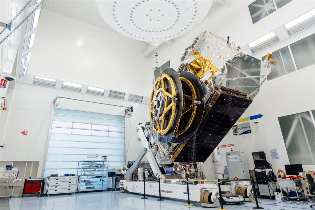
At its core, the plan sounds ambitious. Imagine one platform that doesn’t just collect images from space but actually understands them.
Spotting changes, identifying targets, and even assessing damage after a strike.
From surveillance to action, all in one streamlined loop.
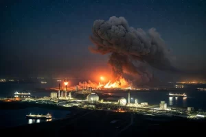
Why now? Experts say the game has changed.
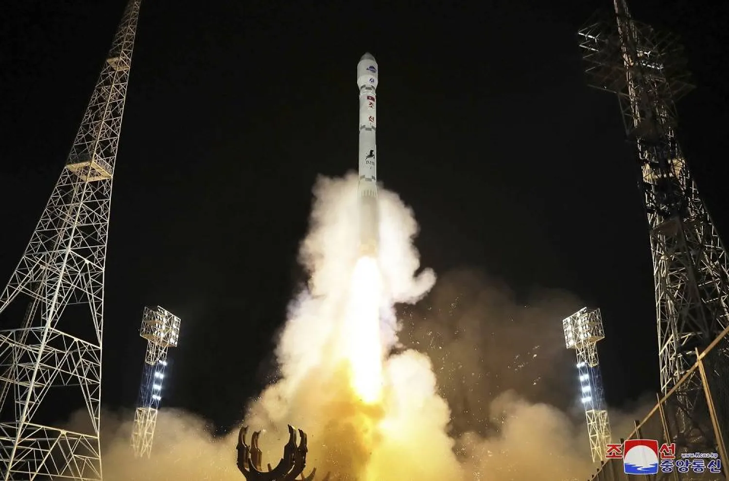
AI Battlefield Integration
With sharper commercial satellites and smarter AI tools, data is no longer the problem—making sense of it is.
“The issue isn’t access, it’s integration,” one insider hinted, pointing to how fragmented systems slow down response times.
The new platform aims to fix that. By automating everything—collection, analysis, even visualization.
It could give commanders a clearer, faster picture. Of what’s happening on the ground.
Think of it as turning scattered puzzle pieces into a single, live map.
But it’s not all smooth sailing. Security risks, system compatibility, and tech reliability still loom large.
As one official put it, “significant challenges remain.”
So here’s the bigger question: when wars become data-driven, will the smartest algorithm win—or the smartest human behind it?