What if the Moon came with an ID card?
Thanks to China’s Chang’e-6 mission, it kind of does now.
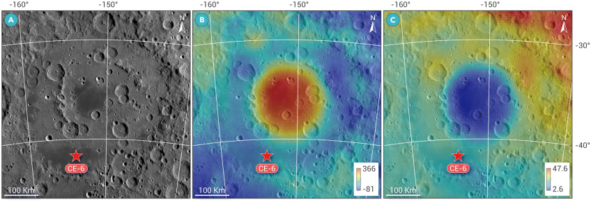
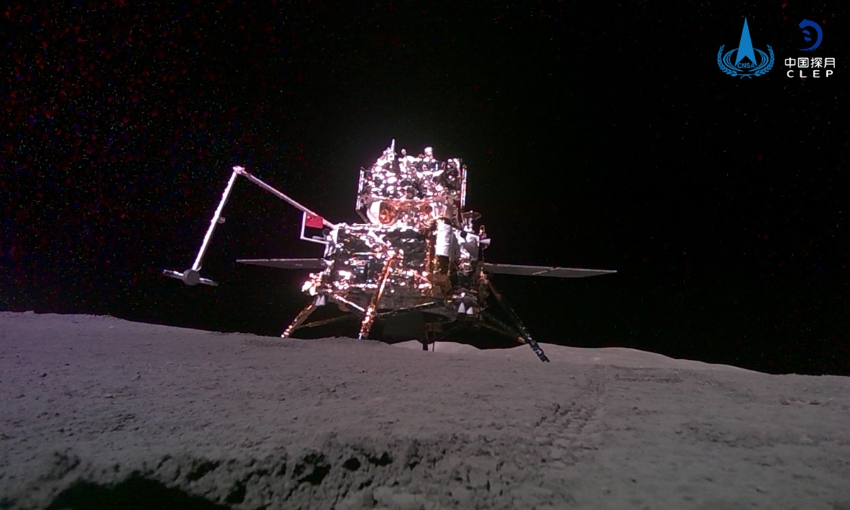
A Chinese research team has pieced together a stunningly detailed terrain map of the Chang’e-6 landing site on the moon.
They used high-resolution images snapped during the spacecraft’s descent. And this isn’t just for show.
Think of it as a geological cheat sheet for the Moon.
What Does It Reveal?
One that reveals everything from how rough the soil is to how thick the lunar dust goes.
Led by Li Chunlai from the National Astronomical Observatories, the team’s work was published in Nature Communications.
It identified the exact landing spot.
The rim of a 51-meter-wide crater nicknamed C1, nestled in ancient lunar basalt.

The data paints a picture of a “Goldilocks” terrain—not as smooth as Chang’e-5, not as rugged as Chang’e-4, but somewhere in between.
Turns out, the lunar soil is a cosmic cocktail.
About a third of it likely erupted from the nearby crater, while the rest was delivered by more distant lunar collisions.
That top layer, researchers say, is like a “passport stamp” revealing the soil’s journey through space and time.


