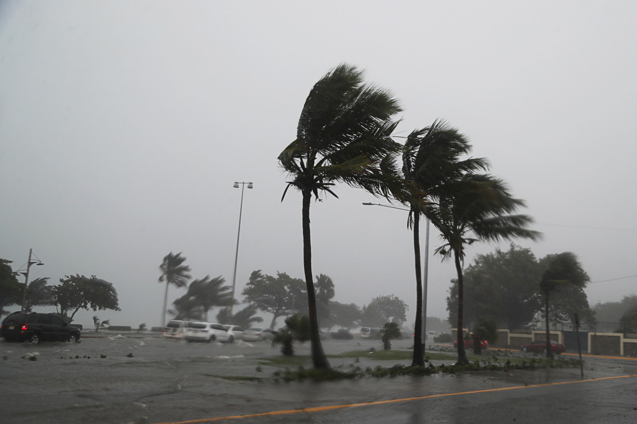
Fred has reformed into a tropical storm, and it is likely to intensify more as it approaches the Florida Panhandle. The official course has been moved to the east. Scroll down to view the most recent forecast video, tropical models, and commentary from the National Hurricane Center.
As Fred approaches, the rain will intensify throughout the Florida Panhandle Sunday night and Monday, then across areas of the Southeast, including Alabama, Monday night and Tuesday. In parts of the panhandle, a tornado or two is probable late Sunday and into Monday. The primary effects of Fred in central Alabama will be heavy rain and strong gusts on Tuesday.
This story is still developing. Check back for updates.


