


The Pacific Ocean is heating up at an extraordinary rate, with El Niño reaching record levels weeks before its expected peak in December.
Scientists warn the event could add further pressure to an already warming planet.
Australia’s Bureau of Meteorology says weekly sea-surface temperatures in the central Pacific have climbed to their highest levels in its records.
Parts of the tropical Pacific have also recorded temperatures above 30°C for the first time.
So what makes this El Niño different?
El Niño is a natural climate pattern that develops every two to seven years, shifting ocean temperatures and influencing weather worldwide.
But human-driven climate change is warming the oceans too, making it harder to separate the effects.
Scientists Assess Global Climate Risks
Climate scientist Dr Zeke Hausfather described the current event as “unprecedented in the historical record.”
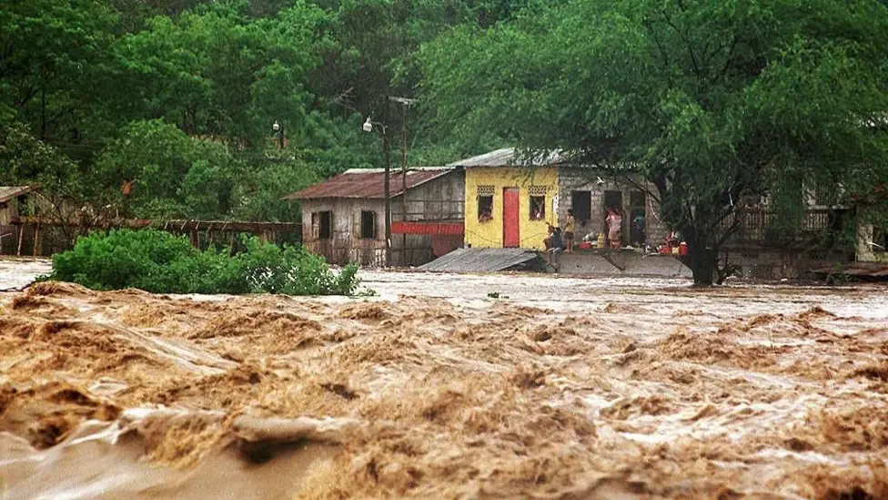
Previous powerful El Niño events brought severe droughts, wildfires and devastating floods to different regions.
This time, scientists are watching for similar disruptions as forecasts point to a peak in December and possible effects extending into 2027.
However, a stronger El Niño does not automatically mean every region will experience more extreme weather.
Its effects vary by location, and the World Meteorological Organization says there is currently no evidence that climate change is making El Niño events stronger or more frequent.
With ocean temperatures setting new records, one question looms.
How much additional heat will this natural climate cycle add to a world already warming because of human activity?