

What if the map you trust most could suddenly start imagining places that never existed?
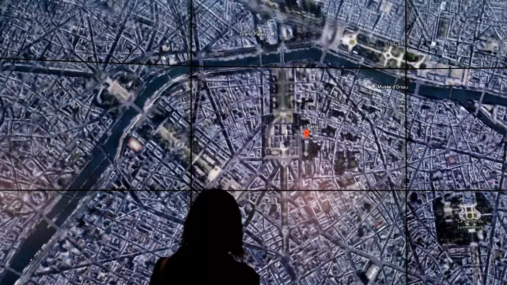
That’s the question being raised after Google introduced a new AI-powered feature for Google Earth that lets users create realistic visualisations directly on top of satellite imagery.
Powered by Google’s Nano Banana 2 image-generation technology.
The new “create image” tool allows users to zoom into real locations and generate AI visuals within seconds.
Google says the feature can help users recreate historical scenes, plan real estate projects and explore creative ideas.
But not everyone is convinced. Digital investigations expert Henk Van Ess warned, “Google spent 20 years building the reference the world checks against.
Today it added a button that makes things up.” He argued that AI-generated images could inherit the credibility of genuine satellite maps.
This could make misinformation harder to detect.
Tool Sparks Deepfake Fears
Research analyst Brady Africk echoed those concerns, saying the tool could make it easier to produce convincing fake satellite imagery that spreads rapidly online.
It could potentially undermine public trust and complicate the work of journalists, investigators and fact-checkers.
Google insists safeguards are in place. Every AI-generated image includes SynthID.
It is an invisible digital watermark that can be detected using its Gemini AI.
As AI becomes more powerful, the biggest challenge may no longer be creating realistic images—but knowing which ones truly reflect reality.