
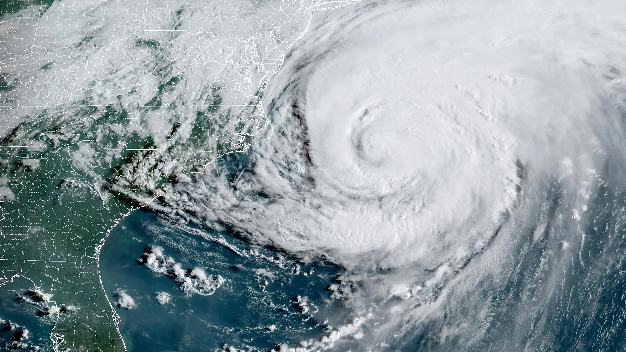
Hurricane Erin may be losing steam, but she’s still leaving a mess in her wake.
New Jersey has now declared a state of emergency as powerful winds, dangerous rip currents, and flooding threaten the state’s coastline.
And here’s the kicker—Erin never even made landfall.
According to the National Hurricane Center (NHC), Erin is still “very large,” with hurricane-force winds stretching 125 miles out from its center.
At its peak, the storm packed 90mph winds, closing beaches, flooding roads, and sending warnings up and down the US East Coast.
Even Canada isn’t off the hook—Nova Scotia and Newfoundland are bracing for pounding surf and abnormally high water levels.
What’s The Situation?
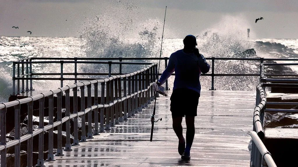
“Over the past couple of days, we have seen the effects of Hurricane Erin along the Jersey Shore in the form of dangerous rip tides.
Today and tomorrow will be no exception,” warned New Jersey Governor Phil Murphy.
And he’s not exaggerating—rip currents are already pulling swimmers out to sea, forcing repeated rescues in states like North Carolina.
Experts say 2025 could bring an unusually busy hurricane season, thanks to warming oceans fueled by climate change.
But here’s the uneasy twist: cuts to weather research may leave forecasters with fewer tools to track these monster storms.
The storm may weaken soon, but its message is loud and clear—nature’s not waiting for us to catch up.