
Hurricane Erin is putting on quite a show in the Atlantic—though not the kind anyone wants to see.
Once a ferocious Category 5 with winds topping 160mph, the storm has eased slightly to Category 3 as it churns toward the Bahamas.
But don’t let that downgrade fool you.
Meteorologists say Erin is growing in size, stretching tropical-storm-force winds more than 200 miles from its center.
The Real Impact On The Ground
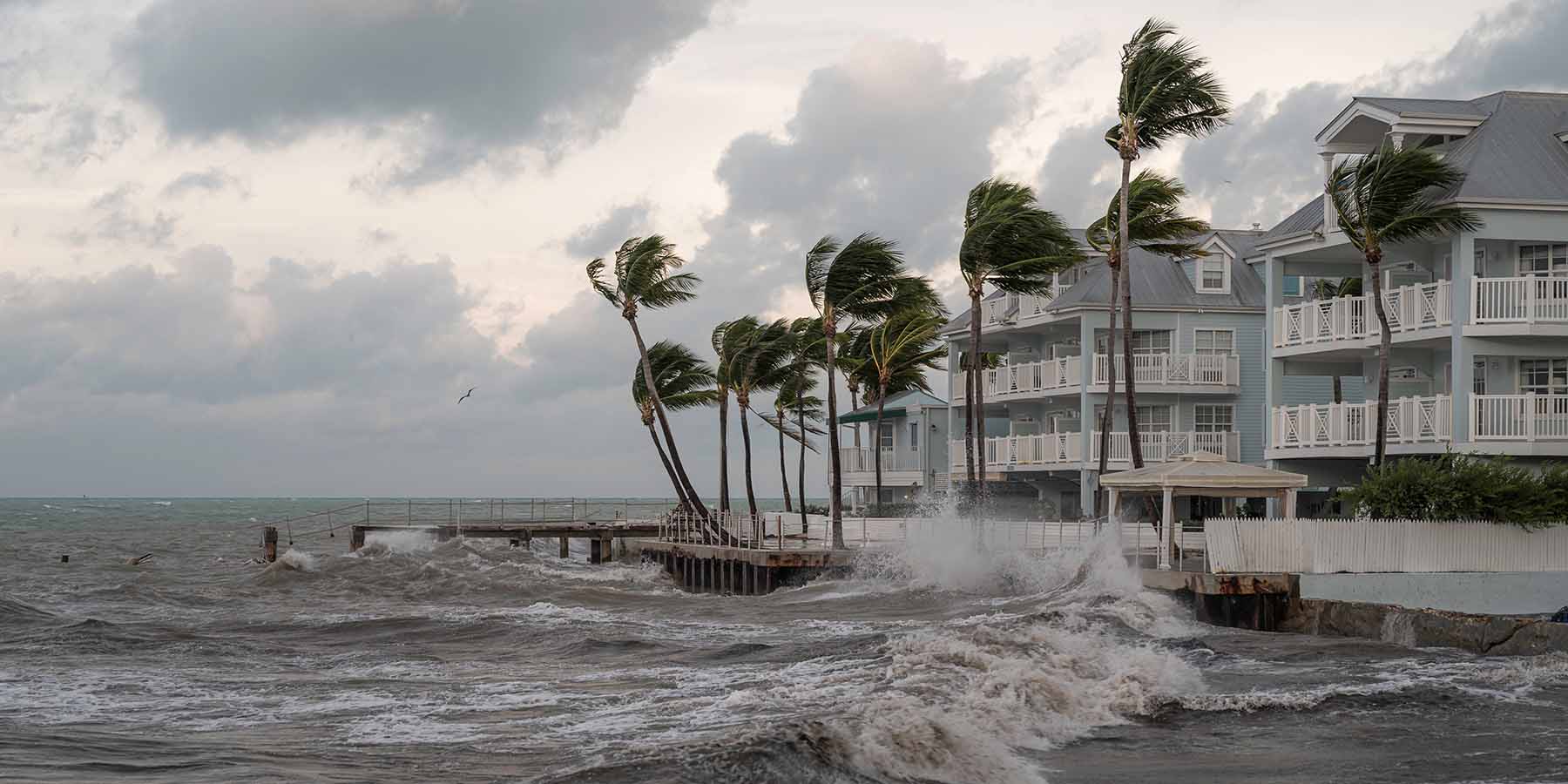
Heavy rain, flash flooding, and even landslides are likely in Puerto Rico and the Virgin Islands.
The Turks and Caicos are under tropical storm warnings.
Forecasters predicting up to six inches of rain and rip currents powerful enough to pull swimmers out to sea.
“This storm explosively deepened and intensified in less than 24 hours,” NHC director Mike Brennan explained.
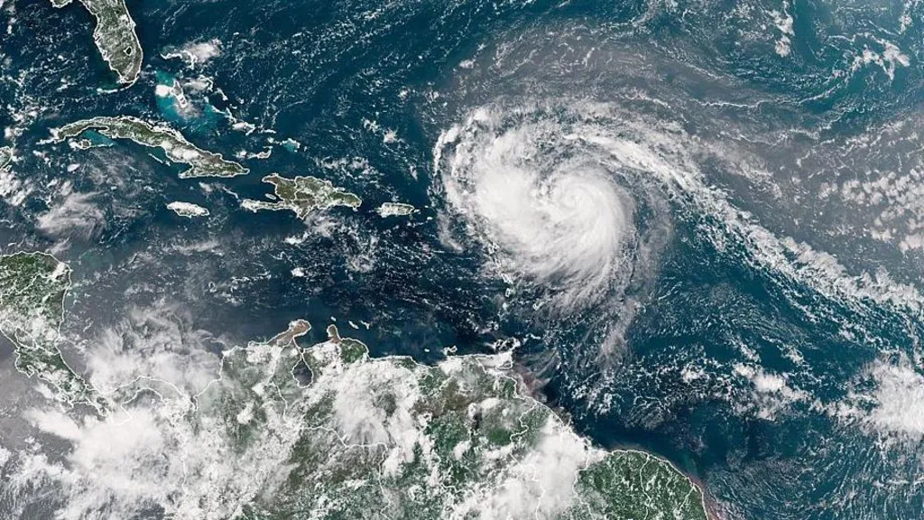
Erin’s dramatic leap from tropical storm to Category 5 happened over the weekend.
Now, as the hurricane pivots north, its winds have slowed, but the risks haven’t gone away.
Dangerous surf is expected along much of the U.S. East Coast, with Florida and mid-Atlantic states bracing for the strongest swells. Even Bermuda is on alert.
With NOAA predicting an “above normal” hurricane season fueled by warming oceans, one question lingers: is Erin just the opening act?